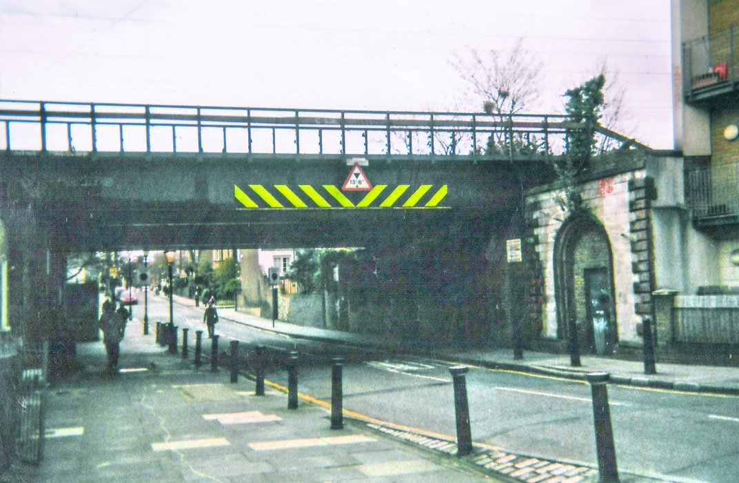
"Railbridge Coborn Road"

Description
Railbridge Coborn Road where the station used to be next to our flats
Date
-
April
2018
Categories
- Function: Industrial
- Function: Transport
- Meaning/Attachment: Community heritage/memory
- Scale: Building/Structure
Location Coordinates
51.529°N 0.032°W